From a cliff-top path, a sea arch and a sea stack can look like the same trick performed twice: a mass of rock out in the swell, guillemots crowding the ledges, white water churning at the base. The difference usually becomes obvious from a different angle, and it rests on one question. Is there solid rock above you all the way across?
If yes, you are looking at an arch. If the rock rises as a pillar with nothing joining it to the cliff, it is a stack. Everything else — how each forms, how long it lasts, how it behaves in a photograph — follows from that.
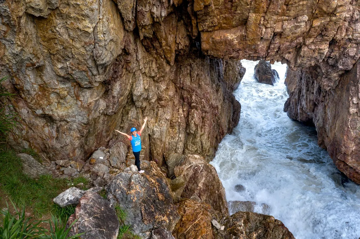
An arch is a bridge. Rock meets land at both ends, and the sea passes through a gap underneath. There is a void, and from most angles you can see daylight, or at least a shadowed tunnel, through it. Durdle Door in Dorset and the Green Bridge of Wales in Pembrokeshire are textbook examples, both cut from limestone.
A stack is a pillar, isolated at high water and connected to nothing. Old Harry Rocks near Studland, The Needles on the Isle of Wight, the Duncansby Stacks in Caithness and the Old Man of Hoy all fit the description. You can walk around them with your eyes and never find a span of rock overhead.
Most arches start with a weakness in a cliff face: a joint, a fault, a bedding plane, sometimes a harder dyke cutting through softer rock. Waves work on it with hydraulic action, compressed air and abrasion from sand and pebbles. A hollow becomes a cave. When caves form on opposite sides of a narrow headland and grind towards each other, they eventually meet, and the headland is pierced. That is the classic arch.
A second route produces the same shape: a cave roof collapses along a line of weakness, leaving rock bridging the gap. Sea level matters too. Many British coastal features were cut when the coastline sat lower or higher than it does now, and are still being reworked by present-day processes.
Stacks form in two main ways. The first is collapse: the roof of an arch fails, the bridge comes down, and the pier that was joined to the land is left standing alone. Marsden Rock in Tyne and Wear lost its arch in the 1990s, and what remains is a stack. The second is isolation without any arch stage at all. A resistant buttress of harder rock can be cut off as softer rock around it erodes, or the cliff can retreat past a fault line and abandon a pillar offshore. Not every stack was once an arch, so resist treating the sequence as a rule.
Coastal geographers usually describe the progression like this:
Side branches exist. A geo is a narrow inlet formed where a cave roof collapses inland rather than through. A blowhole is a cave roof breached from above, so spray erupts through the top of the cliff. Occasionally a stack is reconnected to the shore by a bar of shingle.
The sequence is not a timetable. Chalk stacks can vanish in a single storm, while quartzite or basalt pillars last far longer. Rock type, wave energy, fetch and the direction of the dominant swell all shift the pace.
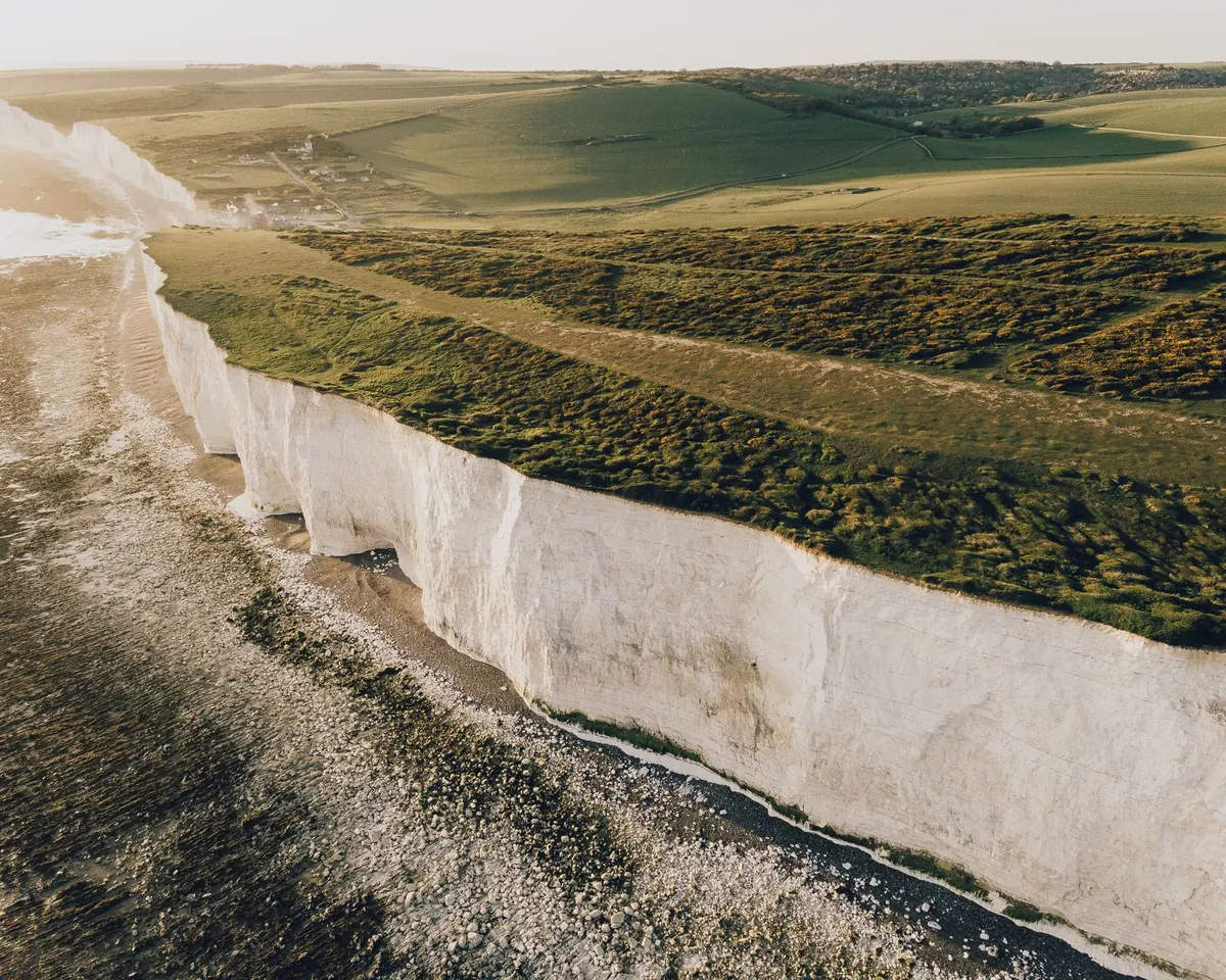
From a cliff top you are looking at the worst angle for telling these features apart. A stack viewed from directly inland can read as part of the cliff, especially at low tide when a wave-cut platform joins the two. Arches give themselves away as a notch or a dark slot, but only if the light is behind them.
The fix is simple: walk a few hundred metres along the coast to a headland that offers a side-on view. The profile is what matters. From Ballard Down, Old Harry Rocks resolve into a row of separate chalk pillars with a clear gap between the last one and Handfast Point. From the clifftop directly above, it is far less obvious. Binoculars, a long lens or a zoomed satellite view will settle the question in seconds. Ordnance Survey Explorer maps mark some arches and stacks with symbols, but not all, so do not rely on the map alone.
At water level, from a boat, kayak or paddleboard, the geometry stops being ambiguous. An arch shows you a doorway: daylight on the far side, the underside of the span, sometimes a green reflection bouncing off the water inside. A stack gives you an uninterrupted silhouette from the waterline upwards, with clear water or air between it and the land.
The low angle also reveals what the cliff top hides: undercut bases, a notch at the waterline, the tilt of the bedding planes, the joint that will one day become the next cave.
Next time you are on a coast path, work through this quickly:
Stay well back from cliff edges, particularly on chalk and soft sandstone, and never climb on a stack or walk out to one across a wave-cut platform — rockfall and tide cut-offs are real risks. If you plan to approach by boat or kayak, go with someone experienced, check the swell forecast and tide times, and give the base of any stack more room than you think it needs.
Get the angle right and the question answers itself: rock overhead, or water all the way round.
Photo: Quang Nguyen Vinh / Pexels