Stand at the top of a beach at low water and you are seeing only part of the story. The strip of sand or shingle beneath your boots is a stack of overlapping habitats, each one shaped by how often the sea reaches it. Move from the storm ridge at the back of the beach down to the retreating tide, and the rules change: the sediment gets finer, the slope softens, and the creatures underfoot change with every few metres. That pattern is beach zonation, and learning to read it turns a casual walk into a lesson in coastal geography.
Coastal scientists usually divide a beach into three broad bands, defined by tidal exposure. They are not fixed lines. A spring tide pushes them higher; a neap tide leaves them lower. Storms shift them again. But the sequence is reliable enough to use as a mental map.
Each zone is a different bargain between wave energy, sediment supply and tidal range. Read the bargain correctly and you can predict what you will find.
Zonation is not a tidy ladder fixed to the shore. It is a pattern created by three moving parts. The tide sets the clock, determining how long each strip of beach is underwater. Waves deliver energy, sorting and shifting sediment. Sediment supply decides what material is available in the first place. Change any one of these and the zones stretch, shrink or slide up and down the beach.
Beach zonation is a map of exposure: the higher you stand, the less often the sea reaches you, and the more it has to be a storm to matter.
That simple rule explains most of what you see. A pebble high on the beach has survived repeated storms. A ripple low on the beach may have been made by the last tide. The difference in time and energy is written into the surface under your feet.
The supratidal zone is the beach's memory of bad weather. It sits above the reach of ordinary tides, so only the biggest seas touch it. That is why the sediment here is usually the coarsest: pebbles, cobbles, broken shells and sometimes boulders thrown up by storm waves and left behind as the water drains away.
Look for a strandline — a ribbon of seaweed, cuttlebone, mermaid's purses and driftwood marking the last high tide. Behind it, a low ridge or berm often shows where storm waves dumped their load. On shingle beaches, successive ridges can record separate storms, like tree rings in stone.
Wildlife is sparse but specialised. Sandhoppers and seaweed flies work the rotting wrack. Beetles and spiders hunt among the stones. Ringed plovers and oystercatchers may nest or roost here, which is why it pays to walk below the strandline rather than over it during breeding season. The supratidal zone reveals wave energy at its most extreme, and sediment at its heaviest.
It is also the best place to read recent coastal history. A fresh strandline may hold human debris, fishing line or plastic, while an older, dark line higher up may be partly buried by blown sand. On gravel barriers, the crest can sit several metres above normal high water, a clear sign that storm waves, not daily tides, built the feature.
Between high and low water, the beach is a machine for moving sediment. Every tide lifts, sorts and drops grains according to their size and the strength of the current. The result is a gradient you can see and feel.
Near the high water mark, the sand is often coarser and drier. Wave swash arrives with more energy and retreats quickly. You may find shells, small pebbles and the burrows of marine worms or small crustaceans. On sandy shores, look for the small, coiled casts of lugworms and the scattered holes of sandhoppers. On rocky shores, this band may be marked by black lichen and the splash zone, where barnacles begin to give way to periwinkles.
The middle beach is the most dynamic. Ripples, cusps and runnels form and vanish with each tide. Lugworms leave coiled casts on the surface after the water drains, while cockles, tellins and razor shells may show as faint siphons or small breathing holes. Shrimps and crabs follow the retreating tide, and shorebirds such as curlews and turnstones probe the wet sand for buried prey.
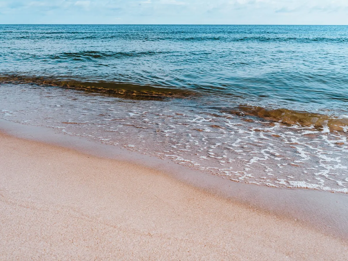
This is the zone to watch if you want to see processes in action. As the tide goes out, thin sheets of water drain down the beach, carving tiny channels. As it returns, the swash pushes sand grains up the slope and the backwash pulls finer material down. Over many tides, that two-way traffic sorts the sediment into bands. A cusp — one of the regular scalloped curves along the waterline — is a temporary record of that sorting.
Closer to low water, the sediment is usually finer, wetter and more stable. Silt and clay can settle here because the water is calmer for longer. This is the zone of sand mason worms, sea potatoes, heart urchins and, on rocky shores, dense beds of kelp and red seaweed. Predators move in with the tide: gulls, oystercatchers, crabs and fish that patrol the shallows.
The lower intertidal also holds clues about the subtidal world next door. If you find clean, well-sorted sand here, the beach is likely exposed to steady wave action. If you find mud, shell fragments and plant debris, the shore is probably sheltered and sediment is arriving from a nearby estuary or salt marsh.
Photo: Egor Komarov / Pexels